Posts tagged #meteorology

Hazelwood North CFA get their PAWS dirty

ESS were welcomed warmly to the Gippsland CFA Brigade of Hazelwood North to train and guide the team on how to use their new Portable Automated Weather Systems (PAWS) and 10m wind speed and direction kit.

Weather Station is just PAWSome

Latrobe Valley Express

The PAWS is a compact, stand-alone solution to monitor fire weather behaviour and collect data on the surrounding microclimate. The PAWS is generally used during planned burns or deployed during an active fire. With a fast set up of 10 to 20 minutes, portability and various parameters including temperature/humidity, wind speed and direction, rain and more – the PAWS is a simple solution to more complex problems.

CFA Hazelwood are now filling in gaps in the national network of weather data by contributing information to the Bureau of Meteorology. ESS and the CFA team were able to get out in the field on February 14th 2022, and test the unit(s) which came in at a temperature of 31.8°C out in the blazing sun!

We look forward to working closely with CFA and other agencies to help them measure and report the local weather which is imperative in making crucial decisions for the community.

For inquiries regarding PAWS, please contact ESS Weathertech at sales@essweather.com.

CREDIT: Full article and photos by Alyssa Fritzlaff of the Latrobe Valley Express local newspaper; Volume 23/02/2022

The Rise Fund Announces US$100 Million ($130M) Strategic Investment in Climavision

ESS Weathertech is excited to announce that the executive board of our parent company, Enterprise Electronics Corporation (EEC), Chris Goode (President) and Colin Cookes (Director), have cofounded a new private business, Climavision, whom Goode will stepdown as President of EEC to move into the role of CEO at Climavision. Read more on the founding and proposal of Climavision in the press release provided below!

————————————————————————————————————————————————————

Partnership will Accelerate Growth of Newly Launched High-Resolution Weather Solutions Platform, Filling Critical Coverage Gaps in Existing Radar Networks

San Francisco, CA; Fort Worth, TX; Louisville, KY – June 2, 2021 – The Rise Fund, TPG’s global impact investing platform, today announced a $100 million strategic investment in Climavision, a pioneering weather services and intelligence platform powered by a private network of high-resolution radars, GPS-RO data, and proprietary software to vastly improve the timing and accuracy of weather forecasting and to fill low-level gaps in existing weather surveillance.

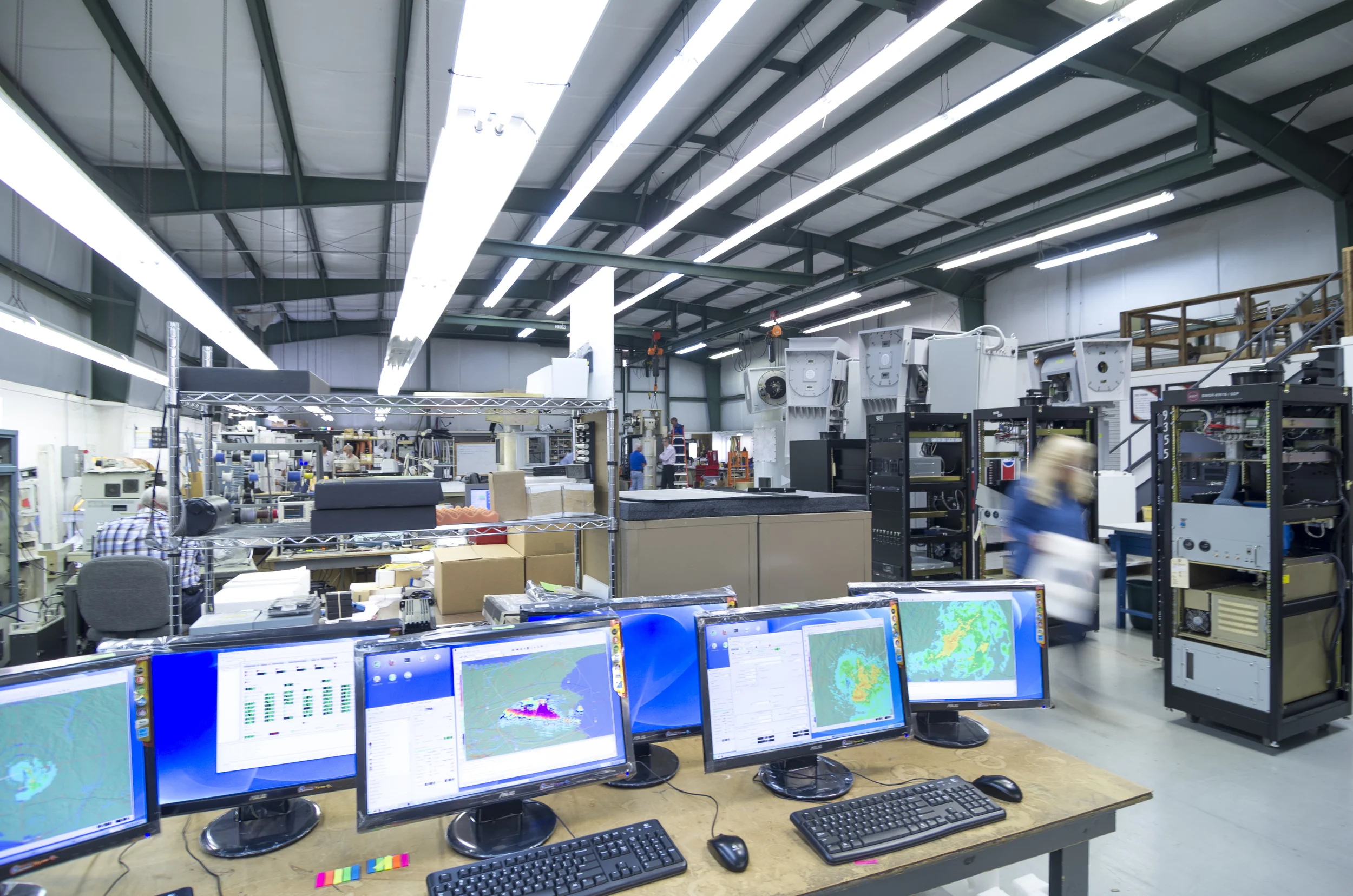
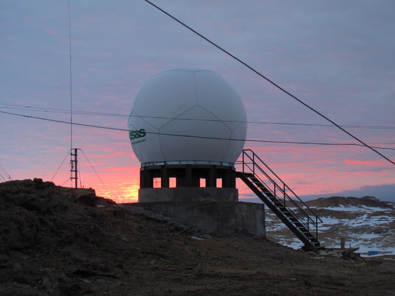
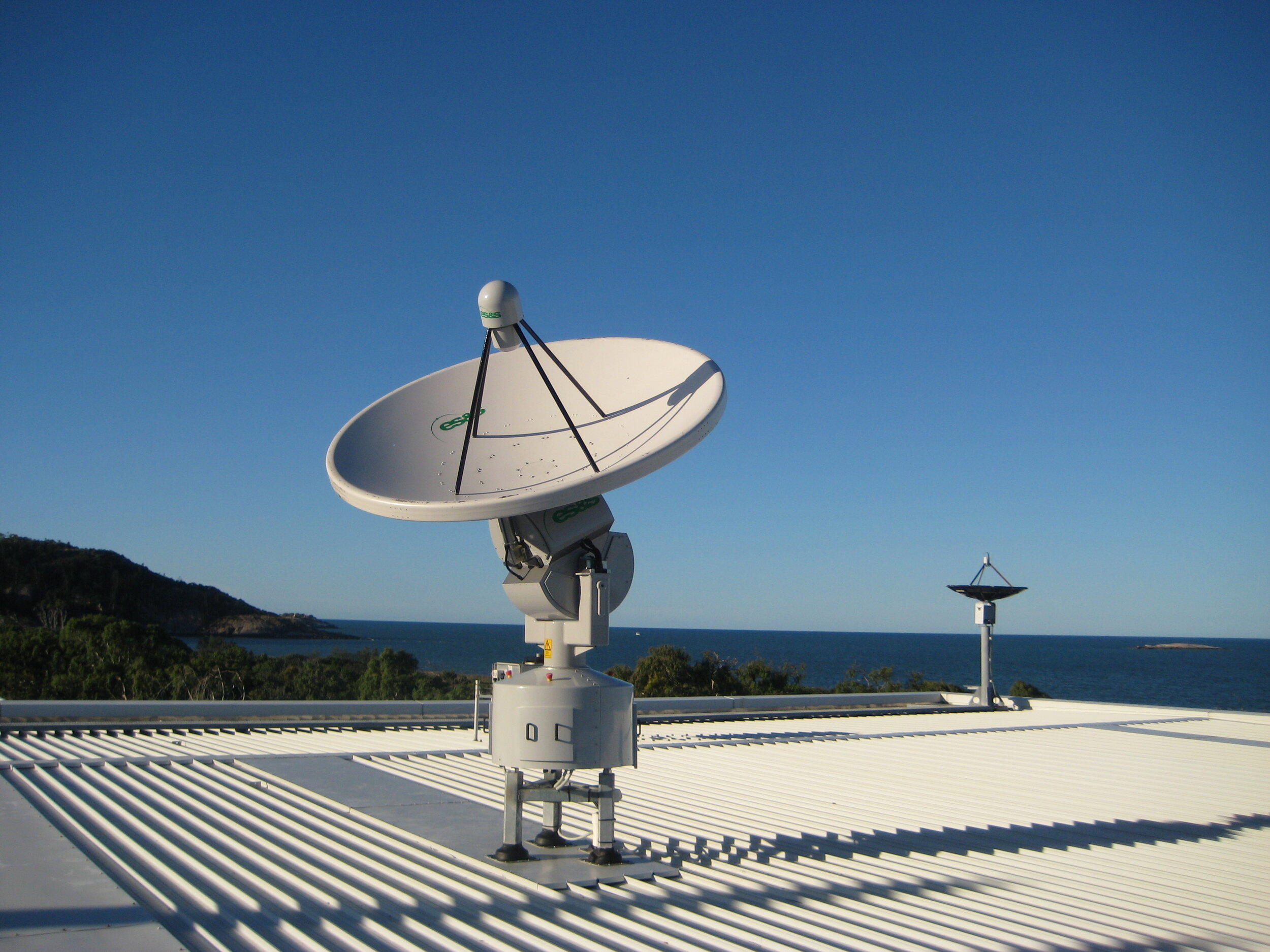
Climavision was formed out of Enterprise Electronics Corporation (EEC), the world’s largest privately held commercial supplier of weather radar systems. EEC, which is majority controlled by the Australian Cookes family, has a 50-year history and more than 1,200 installations across 95 countries.

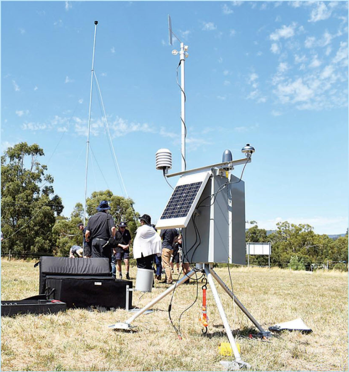
By combining lower altitude, proprietary data with cutting-edge machine learning and AI technology, Climavision’s one-of-a-kind offering provides 10x higher resolution and more accurate forecasting, to address critical coverage gaps left by existing radar networks across the U.S.

Climavision also struck an exclusive agreement with leading GPS-RO provider GeoOptics to enhance forecasts by leveraging its private network of radio-occultation satellites. With improved weather nowcasting and forecasting, Climavision’s technology and data solutions enable customers across industries, including agriculture, drones, government, insurance, logistics, media, renewables, and transportation, to make cost-effective and potentially life-saving decisions in real time.

“As weather patterns become increasingly unpredictable and volatile due to climate change, the need for higher-quality regional and hyper local weather data has never been more pronounced,” said Climavision Co-Founder and CEO Chris Goode. “Climavision’s increased coverage and improved weather information enables earlier and more accurate weather forecasts that can save lives, limit business disruption, and improve the lives of people and communities across the country.”

Goode added, “The Rise Fund understands the need and urgency to invest in technologies that will empower businesses and governments to navigate increasingly dynamic weather patterns, particularly as the world economy endures the inevitable challenges associated with climate change. We are thrilled to partner with The Rise Fund to expand our network, while continuing to serve a growing and diversified set of customers that rely on our proprietary software.”

“Legacy radar systems have often left decision makers with an incomplete picture of the weather-related challenges they face,” said Edward Beckley, Partner at TPG and senior member of The Rise Fund’s climate investing team. “The rollout of low altitude radar sites will provide proprietary data to Climavision’s innovative AI-driven software platform, facilitating next-generation weather forecasting. As the need for efficient and accurate climate solutions becomes increasingly urgent, we look forward to working with Chris and his expert team of industry veterans to expand the reach of these crucial insights.”

As part of the transaction, TPG’s Edward Beckley, Steven Mandel, and Mariana Popa, who make climate investments on behalf of the Rise platform, will join Climavision’s board of directors alongside Chris Goode and Co-Founder Colin Cookes. The partnership with Climavision highlights The Rise Fund’s focus on investing in solutions that are delivering the necessary technology, products, and services that help businesses and communities mitigate or slow the effects of climate change. Enabling solutions like Climavision are a core pillar of The Rise Fund’s climate investing strategy. Other Rise investments that provide enabling solutions for the climate transition include Element Markets, the leading independent marketer of renewable natural gas and environmental commodities in North America; CLEAResult, the largest provider of energy efficiency and demand response solutions in North America; and C3.ai, the leading multi-sector, big data aggregation and analytics platform that leverages AI to improve the efficiency of energy utilities and other enterprises. Goldman Sachs acted as exclusive financial advisor and King & Spalding acted as legal counsel to Climavision in relation to this transaction. Latham & Watkins acted as legal counsel to The Rise Fund.

About Climavision
Climavision brings together the power of a proprietary, high-resolution weather radar and satellite network combined with advanced weather prediction modelling and decades of industry expertise to reduce existing coverage gaps and drastically improve forecast ability. Climavision’s revolutionary new approach to climate technology weather solutions is poised to help reduce the economic risks of climate change on companies, governments, and societies alike. Climavision is backed by The Rise Fund, the world’s largest global impact platform committed to achieving measurable, positive social and environmental outcomes alongside competitive financial returns. The company is headquartered in Louisville, KY, with research and development operations in Raleigh, NC. To learn more, visit www.Climavision.com

About The Rise Fund
The Rise Fund is the world’s largest global impact platform committed to achieving measurable, positive social and environmental outcomes alongside competitive financial returns. With more than $5 billion in assets under management across its platform, The Rise Fund works with growthstage, high potential, mission-driven companies that have the power to change the world. Headquartered in San Francisco, The Rise Funds was founded in 2016 by TPG in partnership with Bono and Jeff Skoll and offers deep expertise in business solutions to help achieve the United Nations’ Sustainable Development Goals. As part of TPG, The Rise Fund offers investment resources, business-building skills, rigorous measurement and a global network to help portfolio companies accelerate growth and impact. With the ability to invest across a wide variety of sectors and countries at scale, The Rise Fund focuses on opportunities in climate, education, food and agriculture, financial technology, healthcare and technology. For more information, visit www.therisefund.com or @therisefund on Instagram.

Media Contacts:
Climavision
Neal Stein
Technology PR Solutions
321-473-7407
nealjstein@techprsolutions.com

The Rise Fund
Ari Cohen
Director, External Affairs
415-743-1550
media@tpg.com

Posted on June 3, 2021 .

Local Technology Company FTS Celebrates 40 Years of Reliability and Innovation

FTS40years.png

We’re excited to share that the manufacturers of our fire weather station range are celebrating 40 years of business in the industry! Please rejoice in congratulating FTS by enjoying the article provided by the company below:

“About FTS

FTS helps build resilient communities by reducing the impact of extreme weather events through reliable, secure, and innovative situational awareness. For 40 years, we have provided solutions, services, and support to some of the world’s most sophisticated and demanding environmental monitoring networks. Check out our environmental monitoring solutions in action at fts360overwatch.com.

Media Contact: Alan DeCiantis, Director of Product (250) 508-5389 adeciantis@ftsinc.com

[Langford, BC] – The business consultants said there was no market for the product, yet today FTS sells environmental monitoring solutions worldwide, counts millions in sales, employs over 75 people and is celebrating 40 years of reliability and innovation!

It was the late 1970s when Bill Cave first imagined automating the collection of weather data by marrying radio telemetry to remote electronic monitoring stations. As a researcher with the Canadian Forest Service, he knew the systems were needed. Certain in his vision, in 1980 he began developing his first prototypes in the basement of his home in Victoria.

By 1984, FTS had sold over 200 weather stations across Canada, and by 1990 stations had been installed in over 900 locations across Canada and the United States. In 1997, Kevin Bradley and Brian Bolton purchased FTS from Bill Cave. However, in 2018 Bradley and Bolton made the decision to sell FTS to Advanced Environmental Monitoring (“AEM”), recognizing that FTS would need a significant infusion of capital if it was going to make the leap into the next level of global product and market development. Since that time, FTS has grown steadily in sales, reach, and reputation in the environmental monitoring industry. This year the company has around 5,000 FTS stations transmitting globally.

David Reid, FTS CEO has seen a large amount of growth not only in FTS long-standing fire weather industry, but has helped the company expand into Hydrology, Air Quality and Utilities markets. “Although I have missed working with Brian and Kevin, having the AEM network behind FTS has allowed us to take further steps to solidify our company as a large player in new industries. Our partnerships with our sister companies allows us to provide an entire spectrum of products to our customers.”

AEM is a collective of innovative environmental monitoring companies that work together to provide the best solutions to our customers,” says Rodney Smith, CEO of AEM. “We purchased FTS for its competitive strength in both fire weather and hydrology solutions. In addition to their products and services, their history of innovation and customer-dedicated culture of the employees has also been a great fit with our existing family of companies, and we are excited to have FTS as part of our group.”

Those working with the company today express pride in being part of FTS culture and reputation.

“It’s interesting to be involved in a company where every year things are getting bigger and better,” says FTS Chief Technology Officer Phil Bartlett, -

who has been with the company since 1994. “We’ve created a formula that works, and we’ve continued to grow organically more than anything. Some companies bloom very early and then fade out of existence pretty quickly—they’ve got a sharp ramp up and a sharp ramp down—but we’ve been slow and steady for the whole life of the company.”

What does Bill Cave say more than 40 years since he began building his first weather stations in his basement? “Let me say that I still feel satisfaction that I was able to build a company that provides good paying employment for a number of people along with job satisfaction and a comfortable corporate culture. It's also a bonus that these jobs result in the protection of forests and clean water.” 

For entire 40th Anniversary article visit our website.”

Satellite Ground Station Series - Part I

If you’d like to learn more about what a satellite ground station is, please keep an eye out for the next few weeks regarding our series updates which will detail the basics on: What a satellite ground station is, the different types of ground stations and their associated products, and lastly ESS’ involvement in worldwide ground station projects. Now let’s begin!

PART I

What is a satellite ground station?

A Satellite Ground Station (hereafter SGS) is built for collecting and streaming remote sensing satellite data to a variety of users and applications. This may include national weather centres such as the Bureau of Meteorology or research centres like CSIRO who collect weather (and other data) to provide to customers like yourself, the public!

An SGS includes the following main components: a reception antenna, a feed horn, wave guide, and receiver – all typically mounted on a pedestal. SGSs can also be regularly protected by a ‘radome,’ which is the soccer ball looking dome used to cover the antenna. See below.

Figure 1: Top - SGS install at Zhongshan Station in Antarctica (Chinese research station), covered with a protective radome. Bottom - Tracking SGS install in Townsville, Australia.

The antenna is the eye-catching, parabolic dish – this design is beneficial for its ability to accurately direct and reflect incoming radio waves, however the main purpose of the antenna is to amplify the incoming signal without adding significant noise. The smaller antenna located at the focal point of the parabolic antenna is called the feed horn. The feed horn is used to gather the reflected signals from the dish and are transferred to a Low Noise Block (LNB) that converts the signal for further processing, such as demodulation where the original source signal is extracted from the received carrier wave, and eventually is visualised on a computer or television etc.

The electromagnetic waves travelling from distant satellites are only a few trillionths of a watt by the time they reach the parabolic antenna. The dish amplifies these tiny signals thousands of times, without distortion or noise, and focuses them on the feed at the centre. Here, the electromagnetic waves are converted into electrical currents, and in this form, they can be amplified further by the LNB. Finally, they are large enough to be processed by the receiver, where the 0’s and 1’s originally sent by the satellite are recovered after their long journey.

Figure 2: Labelled SGS system of how the data gets from a satellite in space to an image on a computer

Figure 2: Labelled SGS system of how the data gets from a satellite in space to an image on a computer

Then what is a satellite?! A satellite (artificial) is the space equipment that orbits the Earth, collecting the important weather data and transmitting such data back to a satellite ground station, which then receives the data so we can process and visualise it on a computer. (Note: an example of a natural satellite, Earth’s largest, is the Moon!)

What is a geostationary satellite? A geostationary satellite or geosynchronous orbit (GEO) is a satellite that is synched with the orbit of the Earth, where the satellites are placed at 35,786km above the Earth’s equator. At this height, a satellite is orbiting at exactly the same rate as the Earth is spinning (11,000km/hr!), so the ground is stationary below it - which also means that the satellite is not moving relative to the Earth, hence the antenna does not need to move. This means that the satellites are facing and recording data from the same ‘patch’ of Earth constantly. Due to the distance of these satellites, geostationary satellites tend to be lower resolution than polar orbiting satellites, however the continuous coverage is a great advantage!

Are there other types of satellites? Yes! The other type of orbit is known as a Low Earth Orbit (LEO), since it is much closer to the Earth. Because the Earth moves below the satellite, it appears to move across the sky, taking about 10-15 minutes to cross from horizon to horizon. To gather data from these satellites, the dish must move to follow the path, so the ground stations that receive this data are known as ‘trackers.’

Figure 3: Comparison of Geostationary orbits and Low Earth Orbits to the Earth

Figure 3: Comparison of Geostationary orbits and Low Earth Orbits to the Earth

Stay tuned for Part II next week where we will delve into satellite data products and ESS’ various antenna range!