
If you’d like to learn more about what a satellite ground station is, please keep an eye out for the next few weeks regarding our series updates which will detail the basics on: What a satellite ground station is, the different types of ground stations and their associated products, and lastly ESS’ involvement in worldwide ground station projects. Now let’s begin!
PART I
What is a satellite ground station?
A Satellite Ground Station (hereafter SGS) is built for collecting and streaming remote sensing satellite data to a variety of users and applications. This may include national weather centres such as the Bureau of Meteorology or research centres like CSIRO who collect weather (and other data) to provide to customers like yourself, the public!
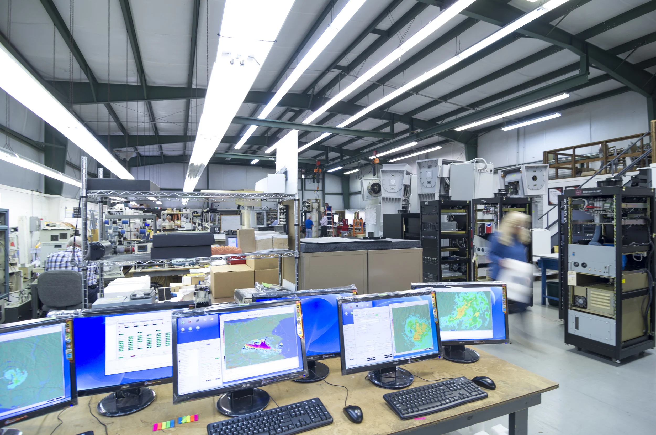
An SGS includes the following main components: a reception antenna, a feed horn, wave guide, and receiver – all typically mounted on a pedestal. SGSs can also be regularly protected by a ‘radome,’ which is the soccer ball looking dome used to cover the antenna. See below.
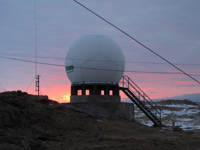
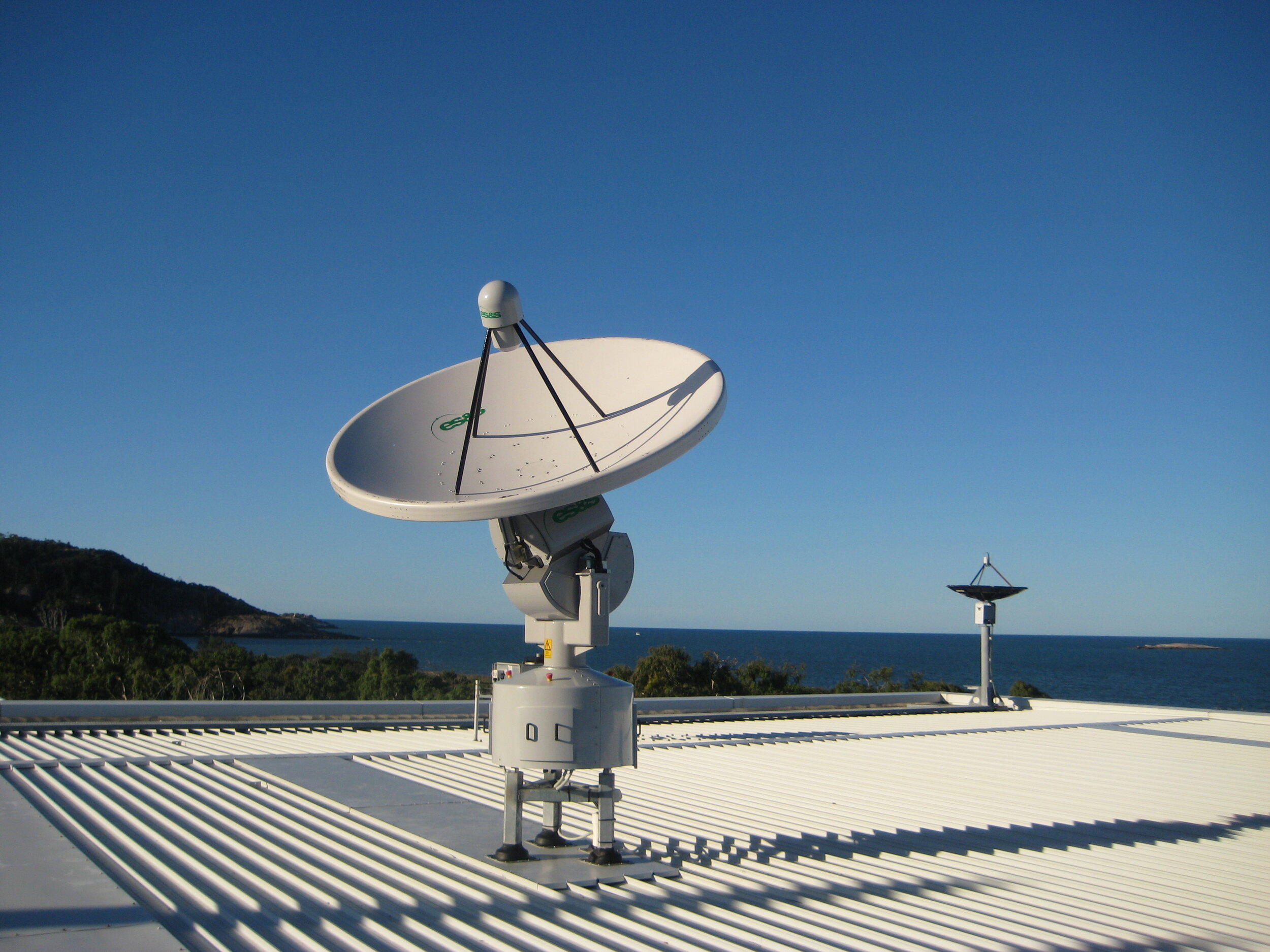
Figure 1: Top - SGS install at Zhongshan Station in Antarctica (Chinese research station), covered with a protective radome. Bottom - Tracking SGS install in Townsville, Australia.
The antenna is the eye-catching, parabolic dish – this design is beneficial for its ability to accurately direct and reflect incoming radio waves, however the main purpose of the antenna is to amplify the incoming signal without adding significant noise. The smaller antenna located at the focal point of the parabolic antenna is called the feed horn. The feed horn is used to gather the reflected signals from the dish and are transferred to a Low Noise Block (LNB) that converts the signal for further processing, such as demodulation where the original source signal is extracted from the received carrier wave, and eventually is visualised on a computer or television etc.
The electromagnetic waves travelling from distant satellites are only a few trillionths of a watt by the time they reach the parabolic antenna. The dish amplifies these tiny signals thousands of times, without distortion or noise, and focuses them on the feed at the centre. Here, the electromagnetic waves are converted into electrical currents, and in this form, they can be amplified further by the LNB. Finally, they are large enough to be processed by the receiver, where the 0’s and 1’s originally sent by the satellite are recovered after their long journey.

Figure 2: Labelled SGS system of how the data gets from a satellite in space to an image on a computer
Then what is a satellite?! A satellite (artificial) is the space equipment that orbits the Earth, collecting the important weather data and transmitting such data back to a satellite ground station, which then receives the data so we can process and visualise it on a computer. (Note: an example of a natural satellite, Earth’s largest, is the Moon!)
What is a geostationary satellite? A geostationary satellite or geosynchronous orbit (GEO) is a satellite that is synched with the orbit of the Earth, where the satellites are placed at 35,786km above the Earth’s equator. At this height, a satellite is orbiting at exactly the same rate as the Earth is spinning (11,000km/hr!), so the ground is stationary below it - which also means that the satellite is not moving relative to the Earth, hence the antenna does not need to move. This means that the satellites are facing and recording data from the same ‘patch’ of Earth constantly. Due to the distance of these satellites, geostationary satellites tend to be lower resolution than polar orbiting satellites, however the continuous coverage is a great advantage!
Are there other types of satellites? Yes! The other type of orbit is known as a Low Earth Orbit (LEO), since it is much closer to the Earth. Because the Earth moves below the satellite, it appears to move across the sky, taking about 10-15 minutes to cross from horizon to horizon. To gather data from these satellites, the dish must move to follow the path, so the ground stations that receive this data are known as ‘trackers.’

Figure 3: Comparison of Geostationary orbits and Low Earth Orbits to the Earth
Stay tuned for Part II next week where we will delve into satellite data products and ESS’ various antenna range!