Weather Radar Installed Upon CSIRO's RV Investigator Vessel

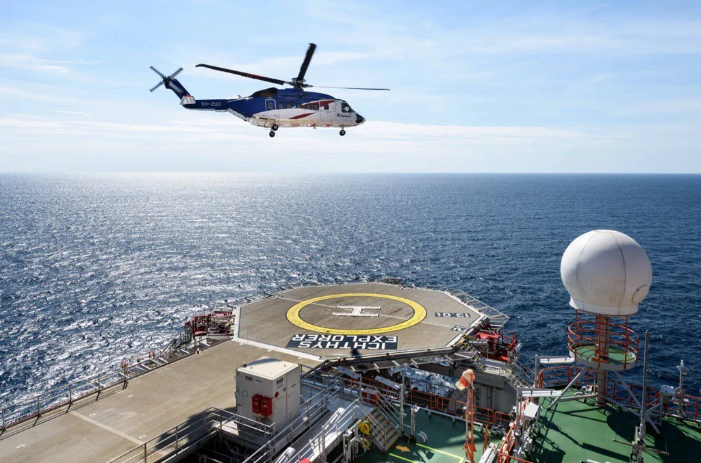
The Commonwealth Scientific and Industrial Research Organisation’s (CSIRO) RV Investigator is a 94-metre-long ship, which has been designed to travel the vast areas of the Indian, Pacific and Southern Ocean to collect useful research information regarding atmospheric, oceanic, marine biological and geological phenomena, from remote, uncharted locations. This project was commenced by the Federal Government’s Super Science Initiative.

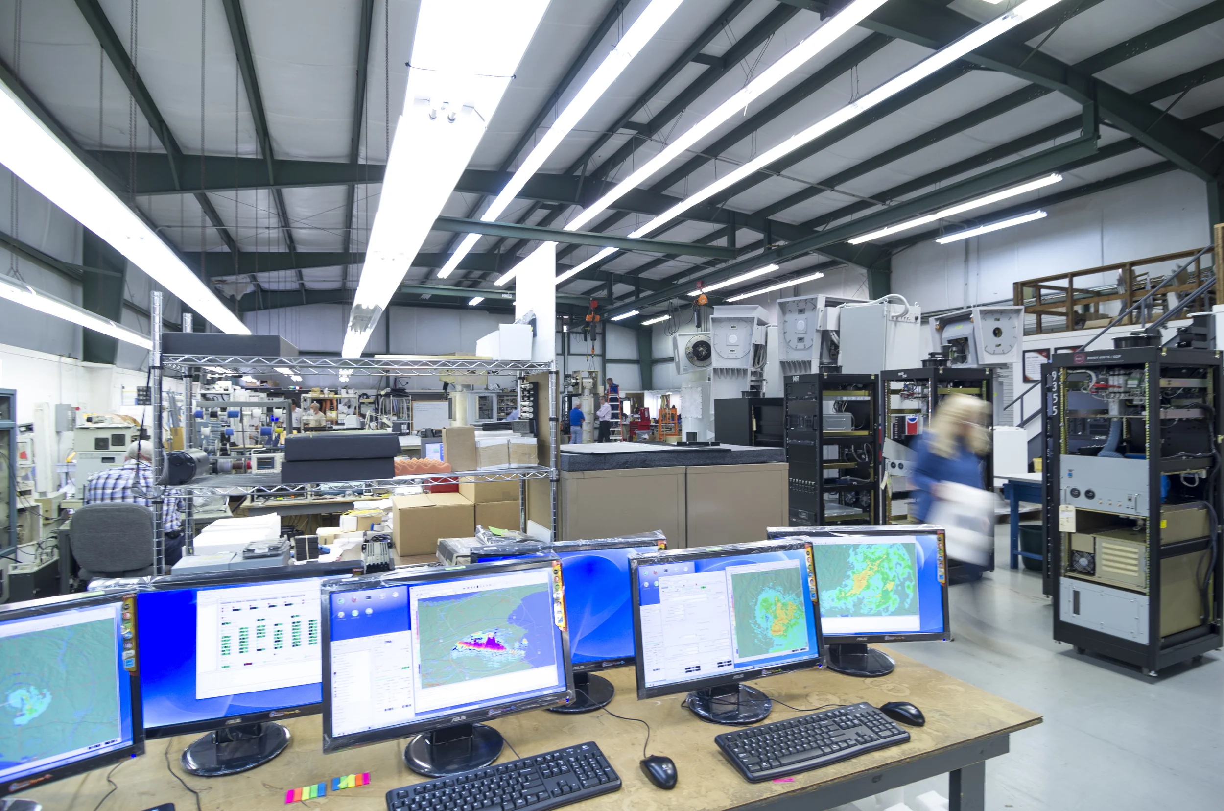
Aboard the Investigator vessel is one of our very own weather research radars that we purchased from our partner company, Enterprise Electronics Corporation (EEC) in the US, and have contracted with CSIRO; which has the capability of collecting data from a 300km diameter range and reaching vertically up to 20km into the atmosphere.  

The valuable information obtained from this whopping 1.75 tonne dual-polarized radar has the ability to drastically improve numerical weather forecasting and climate modelling due to the minute detail with which the radar can detect. With the voyage extending from tropical to Antarctic regions, access to data on the composition (water and ice mixtures) and formation of tropical and cold ice storms allows researchers to deeply investigate the sky, putting the RV Investigator at the forefront of radar technology.

Access to such knowledge provides meteorologists with the opportunity to analyse large amounts of information vital to answering questions regarding weather patterns and large-scale processes occurring in the atmosphere.

Upon the successful installation of the radar on the Investigator, The Centre for Australian Weather and Climate Research (CAWCR), a partnership between the CSIRO and the Bureau of Meteorology, will be able to utilise the collected data for the purpose of research.

For more information about the RV Investigator research vessel and its voyages, please visit the Marine National Facility's (MNF) website at http://mnf.csiro.au/

Posted on February 6, 2018 .

Radar for Offshore Gas Processing Platform Commissioned

The INPEX Ichthys Explorer platform is the largest semi-submersible in the world. It measures 130m by 120m and is located in 250m of water at the edge of the continental shelf about 200km off the northwest coast of Australia.

EEC won the contract to install its latest C band dual polarization weather radar on the platform. There are two main functions of the radar. Firstly to provide early warning of the approach of tropical cyclones. Weather radar is the primary tool used to track severe tropical cyclones. The radar has an effective range of 300km or so and provides early warning of the approach and track of an impending severe weather event. Secondly it will be used to monitor weather impacting on helicopter operations from the mainland to the platform.

The new radar is of great strategic importance in the national tropical cyclone monitoring and warning program operated by the Bureau of Meteorology. All its weather radars are located on the coast and access to this radar located 200km out to sea provides additional critical early warning data. This benefits all of the communities in northwest Australia and all of the offshore oil and gas explorers and miners as well as INPEX.

The Bureau is currently arranging to access the INPEX radar data which will be output by EEC from its EDGE operating system in an internationally recognised format and transmitted to the Bureau by a secure communications system operated by INPEX.

Radar with Heli Landing.jpg
34.jpg
3770068-3x2-940x627.jpg
Posted on October 2, 2017 .

ESS Wins Singapore Contract for Himawari-8

H08_20150924_0300_Natural_Color_RGB.jpg

The National Environment Agency, Singapore, has contracted ESS to supply their latest satellite reception and processing systems for Himawari-8 and Suomi-NPP.  Implementation is planned for the end of Q1 2016.  

Himawari-8 is a geostationary weather satellite operated by the Japan Meteorological Agency (JMA). It is the successor to JMA’s Multi-functional Transport Satellite (MTSAT) series, offering significant improvements in frequency, resolution and precision.


Posted on December 3, 2015 .

Himawari reveals Mt Raung eruption

Volcanic eruptions from Mt Raung 11-12 July 2015

The ESS Weathertech Himawari groundstation in Richmond has received stunning images of the eruption of Mt Raung in Indonesia from the new satellite.

By processing the IR channels to highlight the ash clouds from the volcano, a sequence of images is produced which clearly show the progress of the eruption over a period of two days.

One of Himawari's advanced features is the ability to provide updates every 10 minutes. The previous satellite covering the region, MTSAT, could at best give updated images every half hour. Volcanic eruptions can change significantly in that time. As the above image shows, the ability to produce images rapidly allows details in the time evolution of the volcano which would not be seen previously with MTSAT.

Posted on July 18, 2015 .