
The new Himawari-8 satellite is providing enhanced satellite coverage of the Australian/Asian region by implementing more channels and higher updates than previous weather satellites.
Himawari has completed its testing phase and now moving to operational status. The satellite is a significant improvement over its predecessor, MTSAT, which has served the Asian region well for many years. While high resolution data from the new satellite is available over the Internet, Himawari satellite imagery is also available over the "HimawariCast" system, which uses TV broadcast technology to distribute the imagery directly to users.
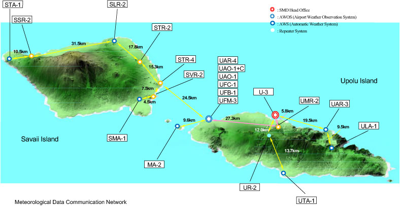
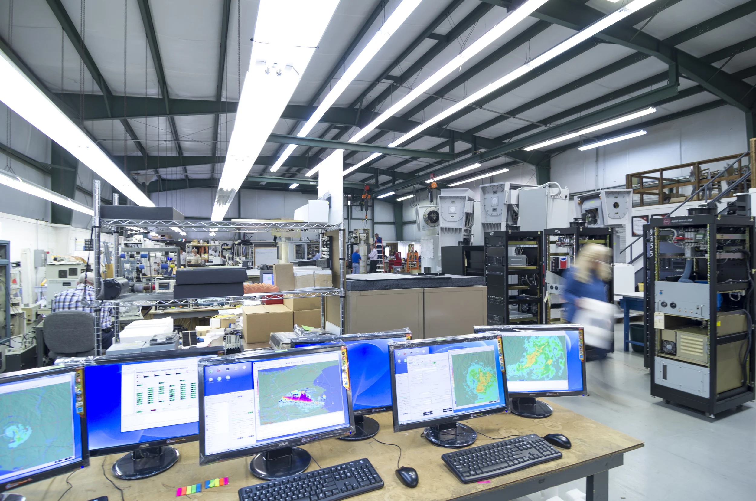
ESS Weathertech has been building MTSAT reception system for many years. These are used routinely by weather forecasting organizations through Asia, Australia and New Zealand. Now ESS is moving into the new generation by providing low cost HimawariCast groundstations which can capture and process the data from the new satellite in real time.
This image loop is a spectacular example of the imagery available from the new satellite. The unusual appearance of three cyclones at the same time shows in great detail the movement of cyclones. The three cyclones are Nangka (to the east), Chan-Hom in the centre, and Linfa heading towards Taiwan. These images benefit from higher resolution, but most significantly, the images are updated every 10 minutes. This is a dramatic improvement on the 30 minute update available with previous satellites, allowing forecasters to follow the movement of the cyclones in greater detail than ever before.